
Storm Boelo: Northern Ireland warned of 75mph winds as weekend weather alert issued
Northern Ireland is bracing for strong winds this weekend after the Met Office named Storm Boelo and issued a yellow weather warning covering all six counties.
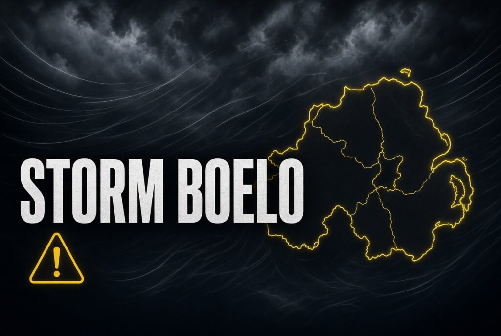
The storm is expected to bring gusts of 50–60mph widely, with exposed coastal areas potentially experiencing winds reaching 75mph.
The warning comes into effect at 6pm on Saturday 24 October and remains in place until 3pm on Sunday 25 October.
Forecasters have warned that the severe conditions could cause power cuts, transport disruption and damage to buildings.
Storm Boelo to bring strong winds across Northern Ireland
Storm Boelo is the second named storm of the 2026/27 season, arriving shortly after Storm Austen affects southern parts of the United Kingdom.
The Met Office says strong westerly winds will spread across Northern Ireland during Saturday evening.
Very windy conditions are expected to continue overnight and through much of Sunday before gradually easing from the southwest during the afternoon.
Gusts of 50–60mph are forecast across much of Northern Ireland, while coastal and other exposed locations could experience winds of 65–75mph.
Heavy, blustery showers are also expected to accompany the strongest winds.
Yellow weather warning covers all six counties
The Met Office yellow warning applies to Counties Antrim, Armagh, Down, Fermanagh, Londonderry and Tyrone.
Forecasters have identified several potential impacts, including disruption to road, rail, air and ferry services.
There is also a risk of power cuts, which could affect mobile phone coverage and other essential services.
Strong winds could damage buildings, dislodge roof tiles and bring down branches or other debris.
The Met Office has also warned of potentially dangerous conditions along exposed coastal routes.
Orange marine warning issued towards Belfast Lough
Met Éireann has issued a separate orange marine storm warning covering coastal waters from Erris Head to Bloody Foreland and Belfast Lough.
The warning is valid from 6pm on Saturday until 10am on Sunday.
West to northwest winds are expected to reach storm force 10 at times.
A wider yellow marine gale warning has also been issued for Irish coastal waters and the Irish Sea.
These warnings highlight the potential for particularly hazardous conditions at sea during the weekend.
The orange warning applies to marine areas and should not be confused with the Met Office’s yellow land-based warning for Northern Ireland.
Travel disruption possible across Belfast and Northern Ireland
The storm could affect motorists, public transport passengers and people travelling by air or sea.
The Met Office says there is a possibility of longer journey times, cancellations and temporary road or bridge closures.
Ferry services operating across the Irish Sea may also be affected by strong winds and rough seas.
However, no specific cancellation should be assumed until confirmed by the relevant operator.
Passengers travelling over the weekend are advised to check directly with their transport providers before setting out.
Residents urged to prepare for strong winds
The Met Office is encouraging households to take precautions before the strongest winds arrive.
Residents are advised to secure loose outdoor items, including garden furniture, bins, trampolines and decorations.
People should also consider preparing for possible power cuts by ensuring mobile phones are charged and having torches or other essential supplies available.
Motorists are advised to take additional care on exposed roads, particularly when travelling near high-sided vehicles.
Anyone visiting coastal areas should remain well away from large waves and exposed sea fronts.
Weather warnings could change
The Met Office has stressed that weather warnings and forecasts may change as Storm Boelo approaches.
The strongest winds are currently expected from Saturday evening through Sunday morning, although conditions may remain unsettled afterwards.
Residents are encouraged to monitor official forecasts and follow any additional advice issued by emergency services.
The storm arrives as Northern Ireland enters the final weekend before Halloween, when outdoor activities and travel plans could be affected by the weather.
Official sources and suggested links
Met Office — Current UK Weather Warnings
Met Éireann — Storm Boelo Marine Warnings
Other news: 45,000 NI properties at risk of flooding as Met Office warns of potentially wetter winter